Megascapes
Megascapes
Experimental Drone Project
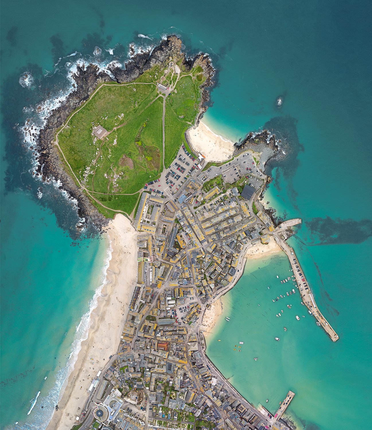
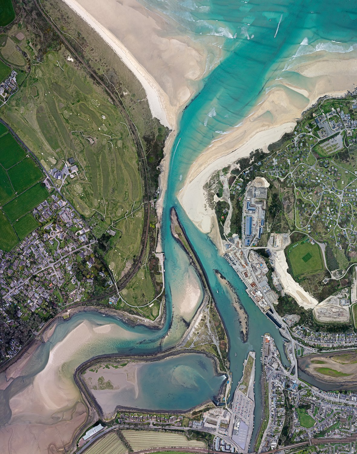
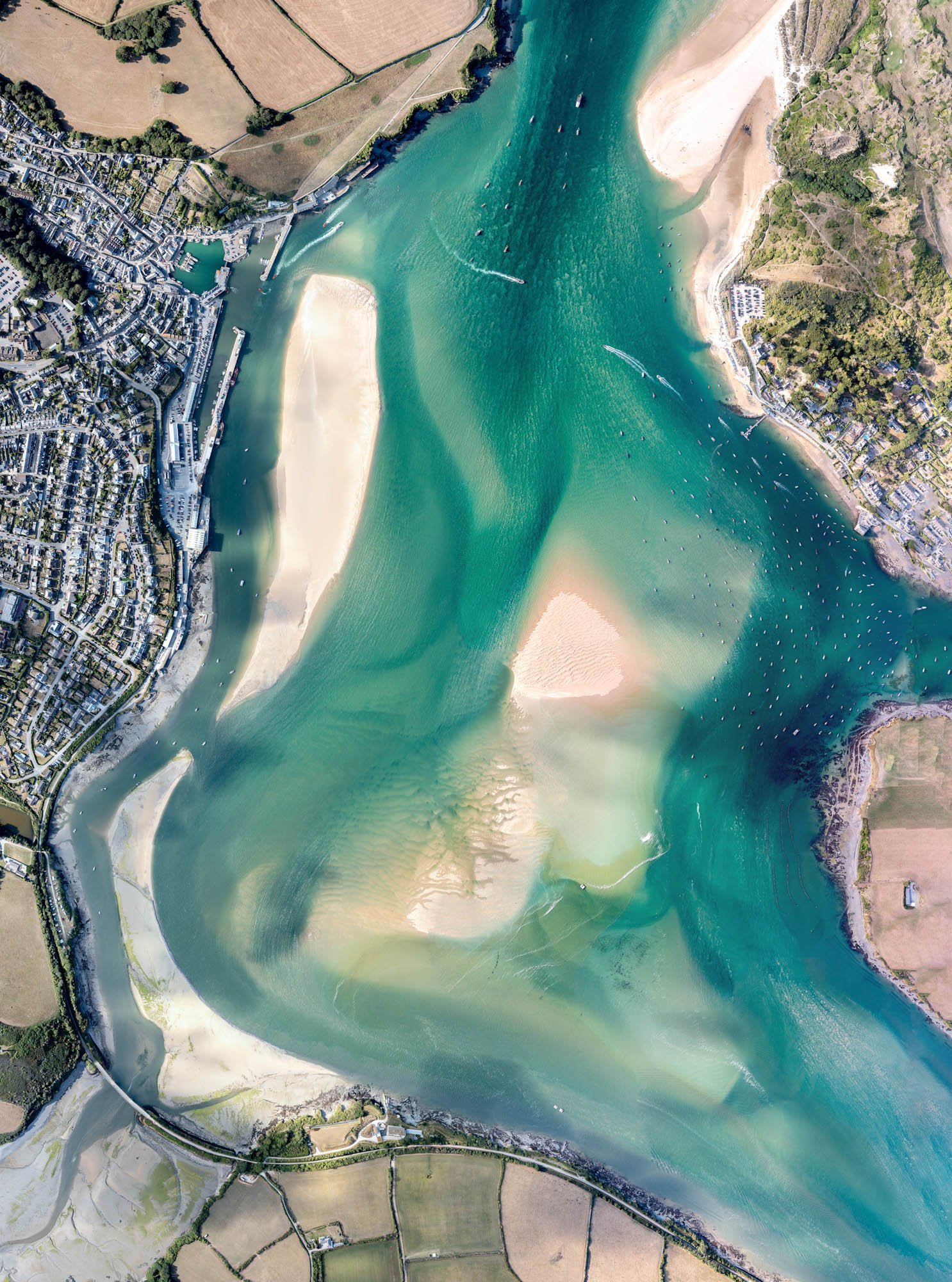
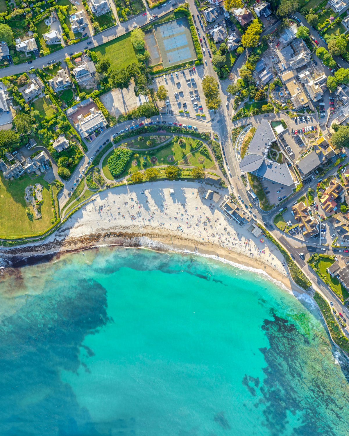
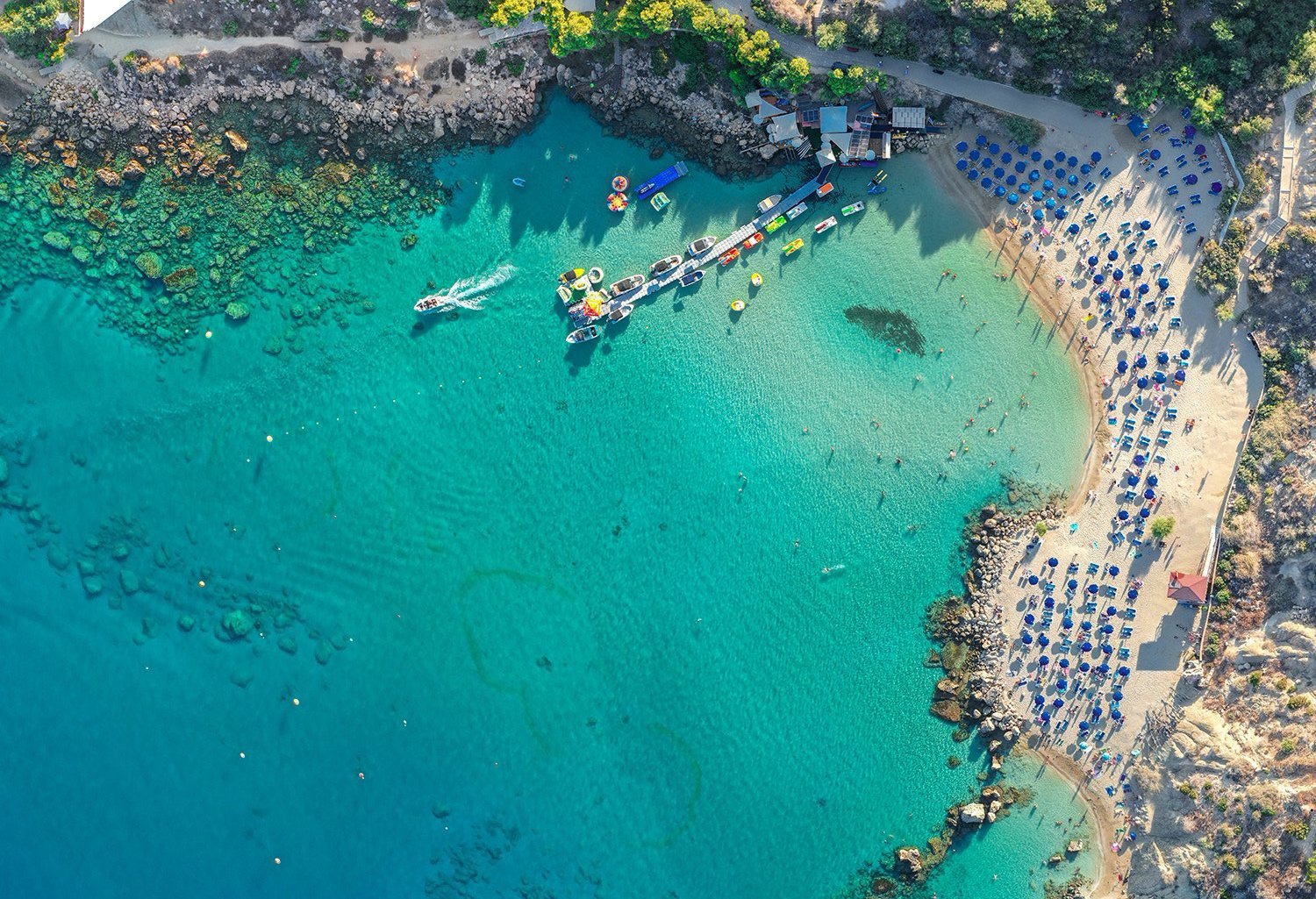
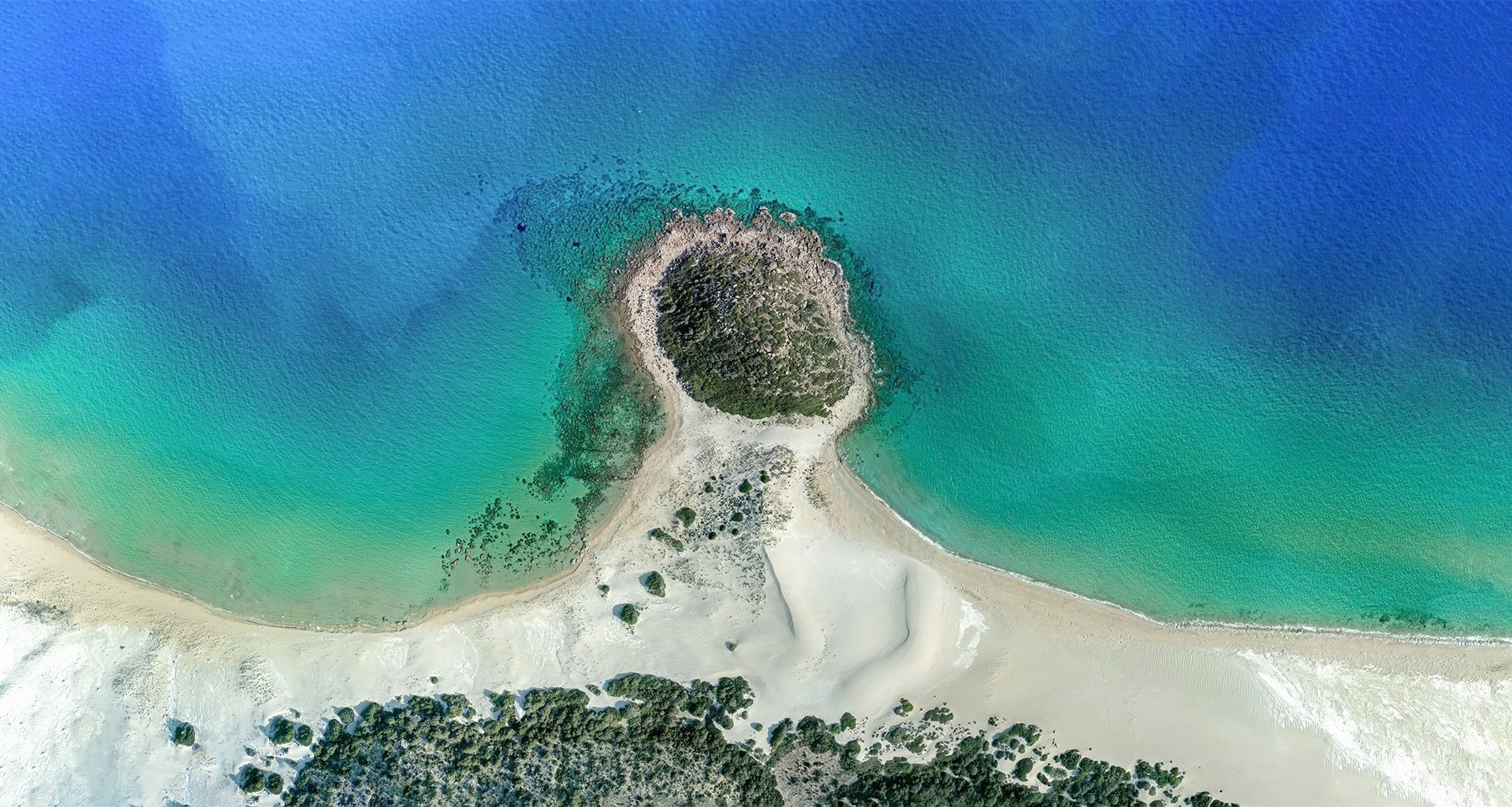
This work in progress project is looking at popular Cornwall’s popular tourist towns from the air, using an experimental drone technique that allows a much larger field of view than traditional drone photography. This unique technology repurposes an existing technology called drone orthomosaic photogrammetry, normally used to map out industrial sites with commercial drones that allows contractors to have a 3D model of a construction site or finished build. However with this project I use the same technology and repurpose it for artistic purposes, the end result is a unique perspective and resolution that isn’t possible with any other technique, even low altitude satellites cannot achieve this resolution. The scale of these photographs range from 1 mile total vertical area to over 2 miles. The end resolution can be up to 600 megapixels (72x resolution of 4K).
DISCLAIMER: These photos are all taken abiding by CAA regulations
Contact me for licensing or special print requests - harry@harryjonesphotography.co.uk